How much is there? Stockpile and excavation volumes from the air
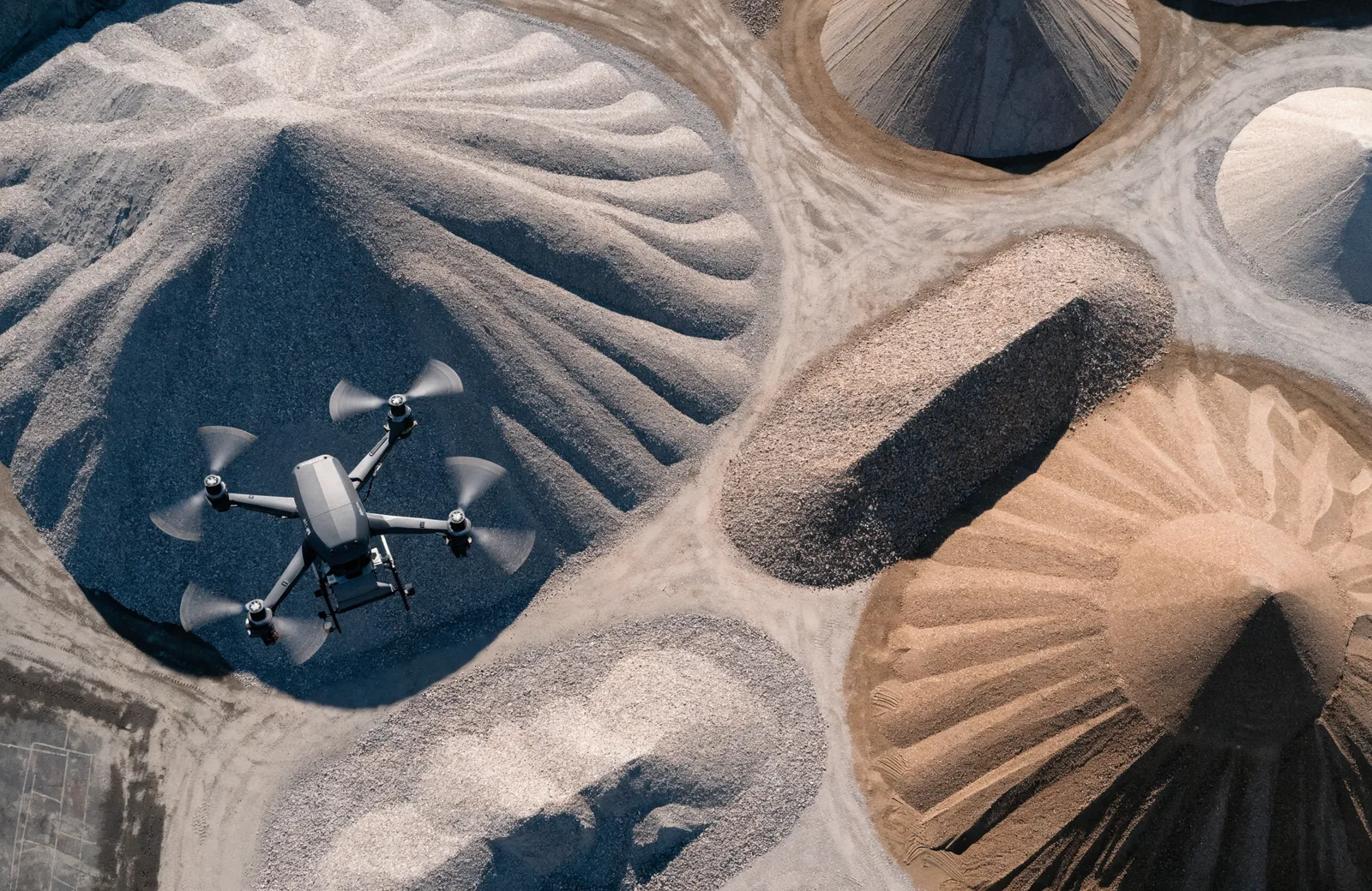
Every larger yard has piles whose contents nobody knows exactly. Gravel, sand, topsoil, wood chips, rubble. As long as things are only roughly costed, it goes unnoticed. As soon as an invoice or a stocktake is due, it does not.
Why the usual methods fall short
Counted lorry loads tell you about deliveries, not about today's stock. Pacing out the pile and applying formulas only works for neatly shaped cones, and those are rare in practice. It also means clambering about on loose material, which nobody enjoys and which is not without risk.
The route via aerial imagery
I fly over the area and capture it with heavy overlap. That yields a terrain model, a digital image of the surface including heights. The volume is then the space between that surface and a reference plane. Depending on the task, the reference is the level ground around it or an earlier survey.
Two points in time say more than one
It becomes particularly useful when the same area is captured twice, say at the start and the end of the month. The difference shows what came in or went out. On an excavation it evidences the spoil removed; on a storage yard it keeps the stock figure up to date.
What the accuracy depends on
The result is clean when the pile stands free and is not half under a roof or between vehicles. Vegetation distorts it, because the camera sees the grass and not the ground beneath. And the reference plane needs to be properly defined. We settle that in a five-minute phone call beforehand, and then the figure holds up.
Sounds like your project?
Tell me briefly what it is about. I get back to you with an assessment and a quote, usually the same day.
Start an enquiry