3D building and terrain models
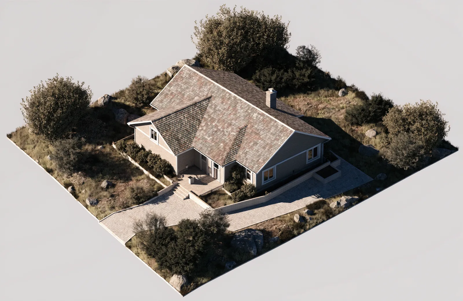
Thousands of individual images turn into a model you can measure, rotate and plan with. For single buildings as much as for entire sites.
What you need it for
- Plan and rebuild from what is actually there instead of old drawings
- Price scaffolding: count lifts and bays and assess standing areas straight from the model
- Present to clients, authorities and investors
- Terrain models for development, drainage and earthworks
- Record halls, yards and plants as built
How it works
- We settle how fine the model needs to be and what will happen with it.
- I fly the object from several heights and angles so that undersides and edges are captured too.
- Where measurements are needed, surveyed ground points are added.
- From the image stack I compute the point cloud, the model and, if needed, a terrain model.
What you receive
- Textured 3D model of the object
- Point cloud plus export as OBJ or FBX
- On request a digital terrain model including heights
- A measurable aerial image and derived views or sections
Good to know
- Glass, water and reflective surfaces are hard for the computation. I say in advance what to expect.
- How fine the model gets depends mainly on flight altitude: closer means more detail, but also more flight time.
- Tell me which software you work in, and I deliver in the matching format.
Service area: around Oldenburg, Lower Saxony, and across northern Germany on request.
In depth in the guide: Read the guide article
Sounds like a fit?
Tell me briefly about your property and what you need the data for. I get back to you with an assessment and a quote, usually within 24 hours.
Start an enquiry